Global soil temperature maps and insights into drivers of biodiversity loss
29 December 2021
Two new scientific papers acknowledge the eLTER PLUS project. In the first, thousands of soil temperature sensors from around the globe allowed Jonas Lembrechts from the University of Antwerp, Belgium, to map the global soil temperature at a 1-km² resolution. These maps are freely available online with the methods described in Global Change Biology.
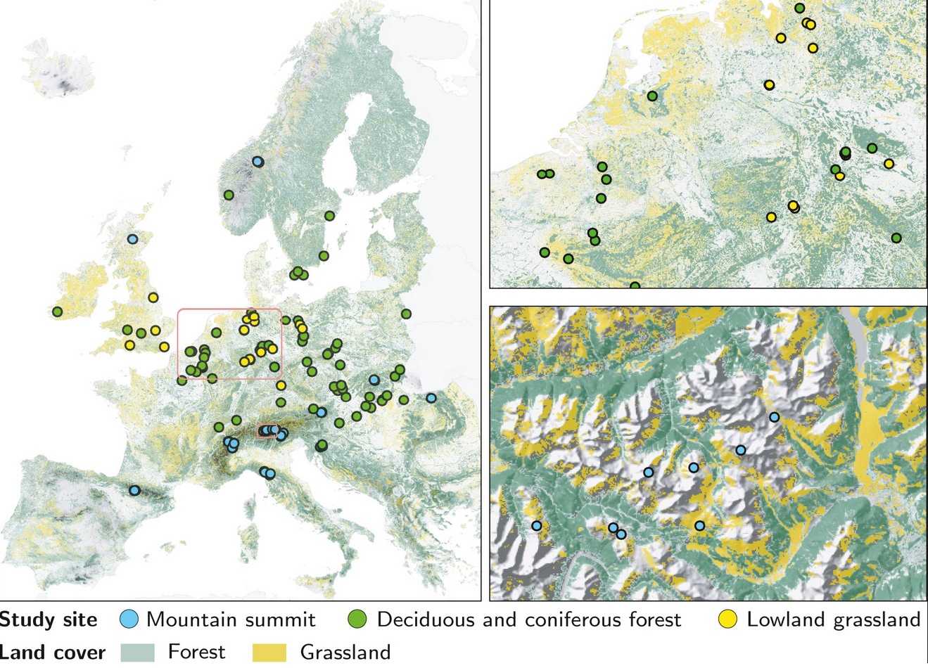
The second paper focuses on the drivers of biodiversity loss. By analysing long-term trends of 1827 plant species 141 sites across mountain summits, forests, and lowland grasslands in Europe, Staude et al. found a displacement of smaller ranged species‐ by those with larger‐ranges. The authors present arguments as to why this may be happening.
Lembrechts et al. 2021. Global maps of soil temperature. Global Change Biology.
Staude et al. 2021. Directional turnover towards larger‐ranged plants over time and across habitats. Ecology Letters.
Thomas Dirnböck, Umweltbundesamt, Austria